by Krystal McKenzie
The mission of the Bermuda Airport Authority (BAA), under which the Bermuda Weather Service (BWS) operates, is to ensure the safe delivery of aviation and weather services that produce positive outcomes for Bermuda.
More specifically, the job of the BWS is to provide weather, water and climate data, forecasts, warnings and support services to protect people, property and the national economy.
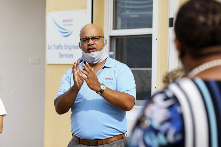
To these ends, Dr. Mark Guishard, Director of the BWS, is keen to highlight the work of his team, the wider BAA, and those who support them. Here he graciously shares his perspective on hurricane season in his own words…
I’m the Director of the BWS and I have been in this post since spring of 2020. I have previously been in the role when BWS was under another parent organization from 2006 to 2012. Prior to that, I was a forecaster and research meteorologist.
As I was spinning up to come back to the operations, I had to re-certify my competency as an aeronautical meteorological forecaster, which included doing some day and night shifts. Our team does 12-hour shifts and covers monitoring, forecasting and warning the island 24/7. There’s a Meteorological Technician and a Meteorological Forecaster on shift at all times, day and night.
What we do supports safe air navigation and aviation services at LF Wade International Airport, as well as providing safety-critical information for Bermuda Maritime Operations Centre (RCC Bermuda Radio), and the Emergency Measures Organization (EMO) in times of hazardous weather.
Of course, it’s a much wider effort at the Bermuda Airport Authority– our operation at BWS gets essential support from other sections such as Air Traffic Engineering, Airfield Maintenance Services and Aerodrome Development and Technical Services.
Part of our essential weather support involves two-way communication directly with the Air Traffic Control Services, which is in turn directly in contact with pilots and ground crews. All of that effort, as in any operation, is greatly enabled by the administrative teams who provide financial and logistical support (e.g., HR, accounting, IT), as well as structural governance and strategic direction. All in all, it is a complex set of inter-dependent operations that rely on highly competent specialist teams within the Airport Authority.
So, back to hurricane season preparations. The Airport Authority has a well-practiced hurricane plan that we review and update annually to ensure that support and plans are in place for our staff who need to be present and working hard, even while much of the rest of the island is hunkering down.
This involves being ready to ‘double-up’ on the shift when a storm is approaching. Not only do the routine tasks increase in volume, but the number of communications goes up also. Formal communications with those agencies and stakeholders I mentioned above, routine calls with the U.S. National Hurricane Centre, and also ad hoc (sometimes random) calls from anyone and everyone seeking information on the storm and advice on what to do.
It’s safe to say that COVID put us through our paces the last couple of years. On September 14, 2020, Hurricane Paulette made history as the 100th hurricane to pass within 100 nautical miles of Bermuda.
A direct hit, Paulette was a category one storm that increased in strength to category two before exiting the local area.
Our normal ‘doubling up’ on the forecasting shift was hindered by our need to maintain our COVID response protocols, such as physical distancing and minimizing the number of people in the workplace. I found myself pulling double duty as a forecaster and managing the communications with the EMO. I was pleased to be working directly (but distantly!) with our newest meteorologist, Troy Anderson, through the onset and passage of storm.
We kept in close contact with the U.S. National Hurricane Center via videoconference. Our diligent team of meteorological technicians also kept a keen weather watch through Paulette’s approach, onset and retreat. They even launched a weather balloon in the eye of Paulette.
Through the whole team’s hard work, we were able to keep the data flowing and the island well informed. We then also had the right meteorological measurements and data to do a robust post-mortem examination of Paulette.
Of course, that is an example of when Bermuda had a relative success, with minimal damage and disruption on the island. This may not always be the case. Last year saw the closest approach of a strong category 4 storm to the island since records have begun.
Hurricane Sam luckily passed just under 200 miles away to the east, but a slight jog to the left would have seen some unprecedented conditions on the island.
As the upper ocean continues to warm, hurricanes near Bermuda have been becoming stronger, and the most intense storms more frequent. Accordingly, we work with the EMO and other stakeholders to ensure that residents sit up and take notice at key points through the hurricane season.
Advice that I regularly give includes the following:
It only takes one storm to make it a busy season for us, regardless of how active things are in the wider Atlantic. Bermuda needs to be ready for a major storm every year, regardless of the seasonal predictions.
Every person, family and organization should have a hurricane plan. Each plan will be different, catering to everyone’s unique circumstances. It could be as simple a checking shutters, making sure you have some supplies for a power outage and checking in on neighbours and vulnerable people.
Start thinking about the coming season now.

